UCLA
 par stanleywei


Fichiers imprimables (3)
-
 stl
stlucla.stl
135.1 Mo · 65 téléchargements
-
 stl
stlucla_v2.stl
135.1 Mo · 57 téléchargements
-
 stl
stlucla_westwood.stl
210 Mo · 60 téléchargements
Description
!!! Please read Print Settings below !!!
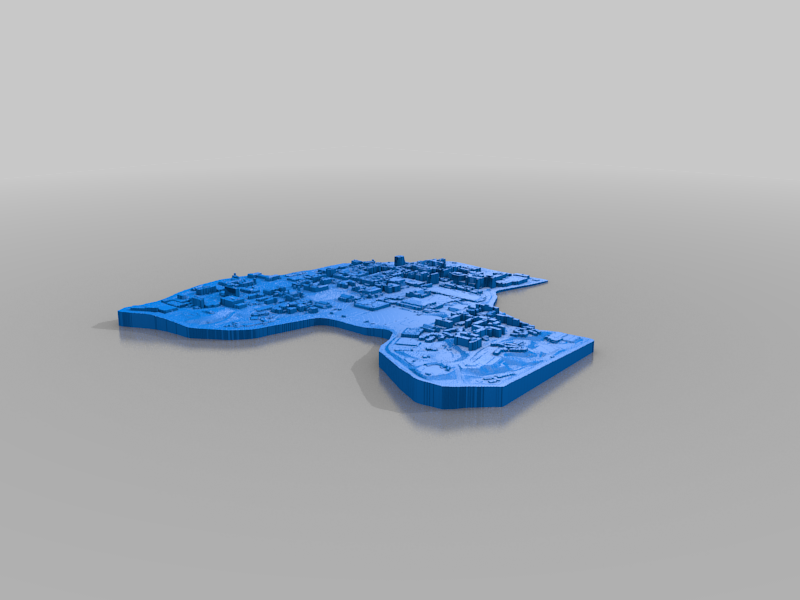
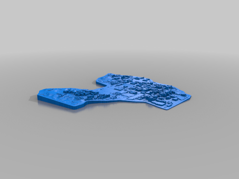
A model of UCLA made using LiDAR data from the U.S. Geological Survey (USGS) National Map: https://apps.nationalmap.gov/lidar-explorer/.
Includes 3* files:
- ucla.stl: A model of the UCLA campus, up to the campus boundaries
- ucla_v2.stl: Similar to ucla.stl, but generated using a slightly different algorithm
- ucla_westwood.stl: A model of the UCLA campus plus Westwood